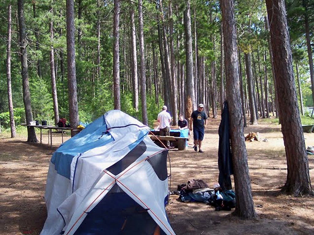
Tuesday, August 18, 2009
Missing!
Any comments would be appreciated.
Access point #1 - North tea Lake area
Access point #29 - Kiosk
Access point #25 - Wendigo (maybe next year?)
Mostly we are missing these because of the longer trip north.
Monday, August 17, 2009
Updated - We are up to 93 total!
Camped On
1. Barron River – Campsite on river, no good swimming, some good fishing. Close to exit at squirrel rapids
2. Big Crow Lake – Good beach
3. Big Porcupine Lake (3 different years – same site) Best site we have ever been on. The westernmost site on big pork
4. Booth Lake - Got hit by lightning here
5. Crotch Lake – 5 nights on a nice campsite – great beach
6. Daisy Lake – on the way to White Trout Lake, quick stop
7. Dickson Lake – Right at the Dickson / Bonfield portage – terrible site
8. Dividing Lake – Nice site, tough portage to get there
9. Farm Lake – on the way to Booth Lake
10. Grand Lake – First stop out of Achray on the way to Opalescent, moderate site
11. Kingscote Lake – very bad site, on the way to Scorch. See trip log algonquinadventures.com
12. Lavieille Lake – at the entrance to the Lake from Crow bay – one of the best sites we have been on
13. Little Trout Lake – nice site – nice lake
14. McManus Lake – Nice sight just after the swift from Smith lake
15. Misty Lake – on the way to White Trout Lake
16. Opalescent Lake – good site, big snapping turtle kept us from swimming. Site is right on the portage.
17. Opeongo Lake – (2 sites) North Arm and East Arm
18. Oxtounge River (2 sites) – High falls site is very good, room for a dozen tents and a fabulous waterfall
19. Park Lake – worst site possible, in view of traffic on hwy 60, exposed, confined, do not go here!
20. Pen Lake – nice lake, lots of good sites and one great one that we haven’t been able to get on
21. Petawawa River – 2 sites – at the chute and schooner rapids (at the hydro line)
22. Rockaway Lake – best fishing ever! Not in the park, on the way to Dividing
23. Scorch Lake – take the trail UP to the best view in the park
24. St Andrews Lake – on the way to Opalescent
25. Sunbeam Lake – Very good island site (easternmost), very nice Lake
26. Timberwolf Lake – on the way out from White Trout, quick stop in bad weather
27. Tom Thomson Lake (2 sites) – great Lake, site on island has great cliff jumping
28. Travers Lake – Last site before hitting rapids
29. Welcome Lake – very pretty Lake with huge SAND beaches, well worth the trip.
30. White Trout Lake – nice site, next to the farm on the map
31. York River – at high falls, no thunder box, lots of people with pop and chips, but still nice
Traversed
1. Aster Pond
2. Bartlett Lake
3. Bear Lake
4. Big Rock Lake
5. Bonfield Lake
6. Brigham Lake
7. Byers Lake
8. Canoe Lake
9. Coveo Lake
10. Cradle Lake
11. Crow Bay
12. Crow River
13. Dagger Lake
14. Fawn Lake
15. Galipo River
16. Godda Lake
17. Grand Lake
18. Grassy Bay
19. Hambone Lake
20. Hardy Bay
21. High Falls Lake
22. High Falls Pond
23. Joe Lake
24. Kimball Lake
25. Kitty Lake
26. Little Crow Lake
27. Littledoe Lake
28. Livingstone Lake
29. Magnetawan Lake
30. McCarthy Creek
31. McIntosh Creek
32. McIntosh Lake
33. Minkey Lake
34. Mole Lake
35. Ooze Lake
36. Oram Lake
37. Proulx Lake
38. Queer Lake
39. Ragged Lake
40. Ralph Bice Lake (Butt Lake)
41. Rock Lake
42. Rumley Lake
43. Ryegrass Lake
44. Shall Lake
45. Smoke Lake
46. Smith Lake
47. Stratton Lake
48. Tattler Lake
49. Tepee Lake
50. Whitson Lake
51. Willow Lake
52. Wright Lake
Visited
1. Bonnechere Lake
2. Branch Lake
3. Cork Lake
4. Depot Lake
5. Harry Lake
6. Hollow River
7. Opeongo River
8. Shirley Lake
9. Snow Lake
10. Tim River
>
Saturday, August 15, 2009
Opeongo - Big Crow - Lavieille - Dickson - Opeongo
Day One
There were 8 of us in the group this year. 5 from my home town of Sarnia, one from Granton and two from Stouffville. We all headed up to the Opeongo access to get our Water Taxi at 1:30 p.m. Permits were obtained, canoes were rented (Algonquin Outfitters) and we were off! We were able to leave about 15 minutes early. Our first night was going to be on the north arm, so we just had the taxi do a quick search for an open campsite. It was busy and after checking the many site on the north shore, we ended up with a dark site on a point close to the Proulx portage that we would be taking tomorrow. It had a very poor take-out but we found it had plenty of tent space once we got into it. We played a couple of poker games, had some great hamburgers and had a drink to another Algonquin adventure!
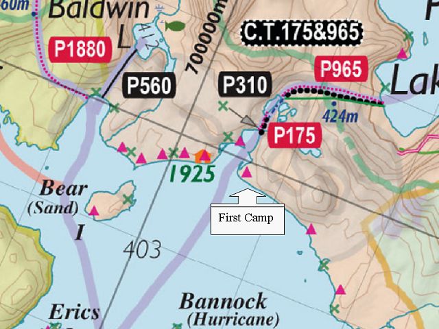
Opeongo North Arm campsite location.
Day Two
We took the short paddle to the portage and proceeded to carry over to Proulx Lake. The portage was fairly flat except for a hill to get round the small unnamed lake in the middle of the portage. My son and I actually missed the cut off around this lake so we actually did the short paddle! It was only maybe 300m and very buggy!
We were disappointed that we didn't see any moose at all on the Crow River. The paddle was nice however, and we made good time getting through Little Crow Lake into Big Crow. We had 4 canoes so we sent out some scouting parties to look for the best site. One pair went to the Ranger Cabin and got us 20 liters of water from the spring there. There is a good site to the south of the cabin on the opposite side of the lake but we settled for the Northern beach site. All three of the sites north of the Crow River are connected by a trail. We met both of our neighboring parties, one from Kingston and the other from Baltimore.
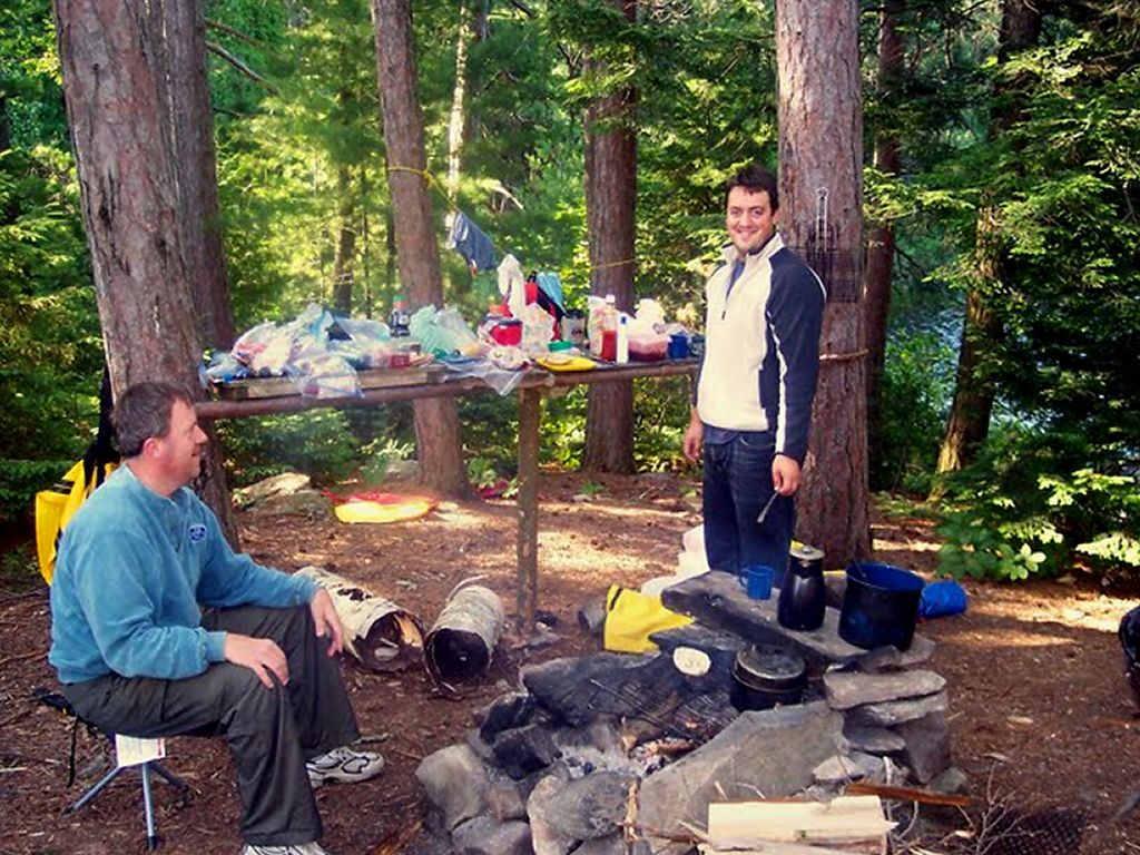
The site is quite nice, with a "kitchen" shelf and some benches. We didn't want to paddle into the wind to go back to the fire tower, so we hunkered down and spent the afternoon and evening playing cards and enjoying a penne and sausage dinner.
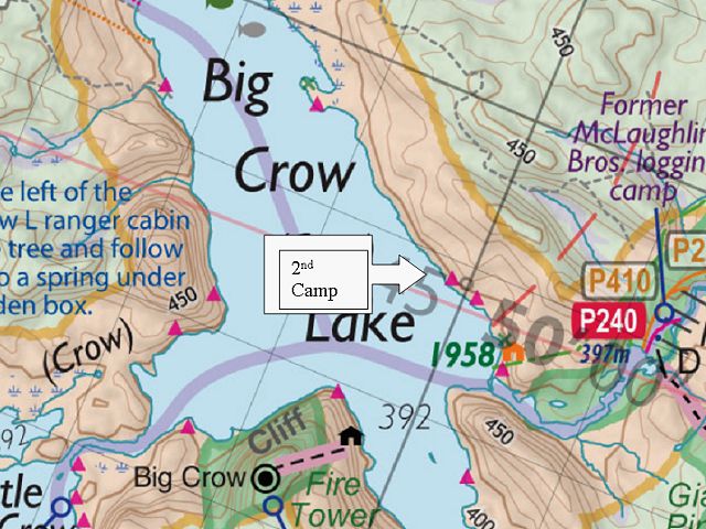
Day Two Campsite location.
Day Three (and Four)
We knew this was going to be a tough day. We started the trek down the Crow River, towards Lake Lavieille and were prepared (we thought) for the multiple portages. There was nothing particularly challenging about any of the portages. There were just lots of them, with winding river-paddling in between. We also had thunderstorms chasing all around us all day, but we managed to come out unscathed.
The put-ins and take-outs are all what you would expect on a river .. rocky and uneven. You also get a little sick of the "in-the-canoe / out-of-the-canoe" routine near the end of the river. We were all quite tired by the time we reached Crow Bay. And there was still a good paddle ahead to get to Lavieille. Water levels were quite high. If they had been lower, this trip would have taken much longer. For us it was about 6 hours.
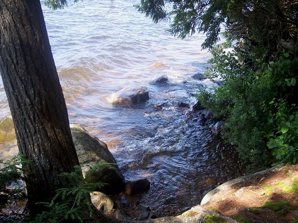
When we reached the group of campsites at Lavieille, the first one did not look great and the 2 on the north of the opening were taken. So we went to the site on the south point. What a great campsite! It had plenty of roaming space with good tent sites, rock porches on the east side to face Lavieille and the west side facing Crow Bay. And, it had a great fire pit area with a shelf. The view of Lavieille to the east was spectacular. Very pretty! This would be our stop for two nights, so we were glad we had a good site.
We only caught one spec and had it for a snack. Basically, this was our chance to just kick back in the wilderness.
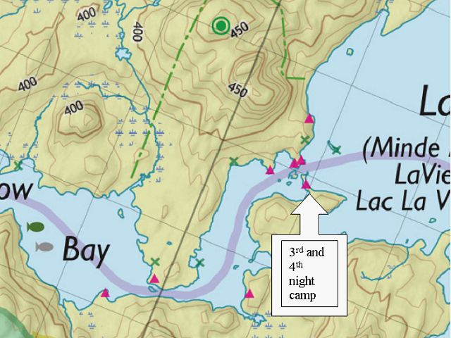
3rd and 4th nights' campsite.
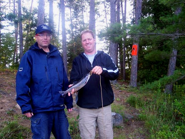
One fish! That's it?.
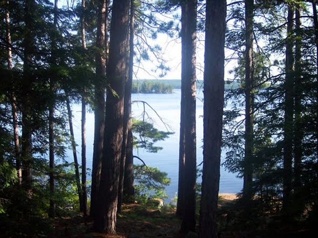
View from the Lavieille campsite.
Day Five
It was a 15 k paddle today down the length of Lavielle to Dickson. The morning was beautiful and we had flat water to start. It was hard to leave such a pretty lake, one of my favorite spots that I have been to in the park.
We wanted to get as close as possible to the start of the Dickson / Bonfield portage, that we would start the next morning. As we arrived at the inlet that leads to the portage, we passed a campsite that was perfect. But some in the group wanted to look at the site that was located right at the start of the portage. If I was to do this again, I would stay at the site that we passed. But the group majority decided to stay on the portage site. It was pretty basic. I think it is designed more as an emergency site for someone coming out of the long portage too late in the day to venture into the Lake.
We decided to carry the canoes (3 of the 4) down the portage to lighten the load for the next day. I would not do this again either as it is a long walk. It took six of us carrying the 3 alternately. With the ultra light canoes it was an easy carry but, as mentioned, it's a long way! The walk back seemed to take forever and I don't like the feeling of walking back along an entire portage. I would have preferred to take everything at the same time with frequents breaks, but doing it only once. When you travel with a larger group I guess you have to go with the majority! We took about three hours to take the canoes to the end and walk back. That's 10,600 meters of walking. The trail is in great shape with only a few sections that are rocky. There are lots of boardwalks built over the difficult sections. The only real challenge is the length!
Then the rain came. It started just as I was cooking dinner and made things difficult. We set up a tarp but eventually just headed for the tents. I was laying down at about 7:30 p.m. and eventually just went to sleep. My son and I ended up spending about 11 hours in the tent! (well it is a vacation! Lol) The rain was on and off all night but no thunderstorms came. Unfortunately I don't have pictures of this site because of all the wet weather.
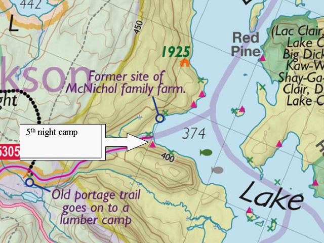
5th night campsite.
Day Six
Today was the day we took the rest of our possessions across the Dickson / Bonfield portage. One advantage to walking the portage the day before was the awareness of how long it would take and the various "markers" along the way. We were using Jeffrey's map as a reference. The map did not reflect what we felt were the true distances between these markers. This may be due to other circumstances (like the terrain - or how tired we were) but we felt that the cart trail cut off was about ¼ of the way down the trail and the road was about ¾ of the total. The map shows it quite different. I don't know if anything has changed or not? We finished the portage in about 90 minutes.
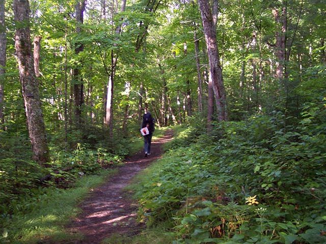
Near the start of the Dickson / Bonfield.
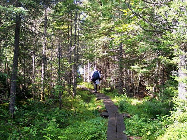
Almost to Bonfield Lake.
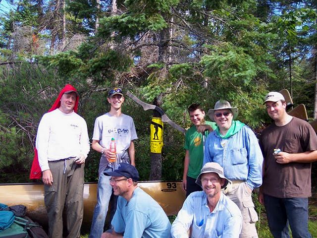
Dickson / Bonfield completed!.
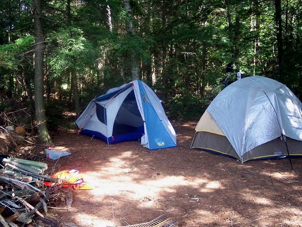
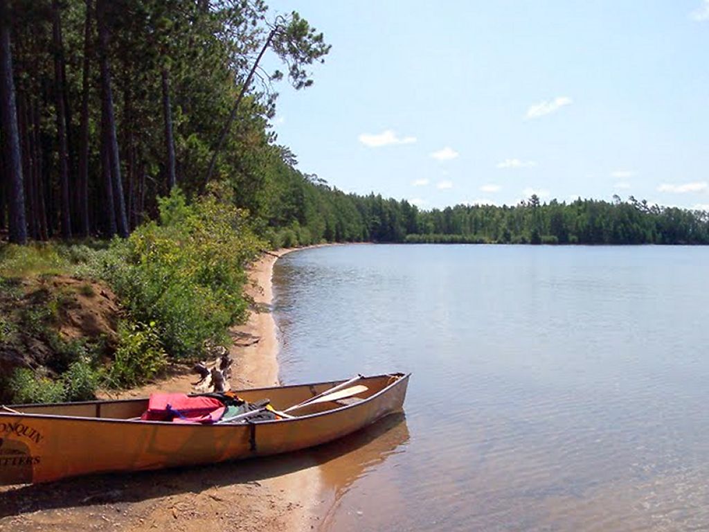
We then paddled and portaged through Bonfield and Wright's Lake to get to Opeongo. Nice little lakes. One of our canoes stopped to fish in Bonfield and caught a bass. When we arrived at Opeongo we saw that there were numerous campsites right at the end of the portage extending north to the end of the cart trail. This whole area is very open with abundant tall pines all around. We went to the 2nd site south of the cart trail exit. It was a fantastic site with a great beach but had the potential for many very close neighbors during busy times.
Unfortunately, the previous campers had left the site in quite a mess, with strewn garbage and a fire pit full of old food and containers. It's hard to explain some people actions. We even saw live trees with large hatchet gashes in them. Also, the Dickson memorial that was close by has been vandalized. The plaque is missing and many of the rocks have been pulled away.
We had a great last evening in Algonquin and enjoyed a KD dinner and a wee bit of Scotch. The water taxi was coming tomorrow at 8:30 a.m. to pick us up.
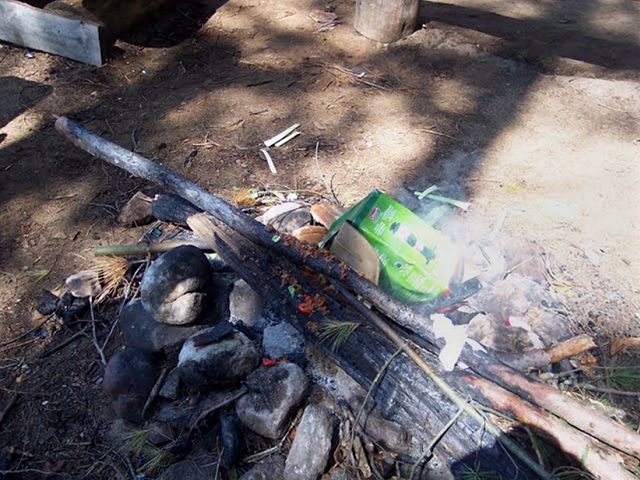
What was left in the fire pit for us.

6th night's campsite.
Day Seven
The water taxi was early and arrived at the East Arm at about 8:05. He was scheduled to pick us up at the portage but spotted us right away at our site and got us there. We were on the way at 8:20 for a cold, quick rise back to the access point. All that remained now was a hot shower, a change of clothes and a 6 hour car ride back to Sarnia.
Another successful Algonquin Adventure!
Need more info? Email me at : freedom55@gmail.com
All of the pictures (and videos) are at : http://picasaweb.google.com/freedom55/Algonquin2009?authkey=Gv1sRgCIDej_3UssqF5gE&feat=directlink
